- Underground Infrastructure
- Real routes; depths exaggerated for clarity
Vancouver, now
Project Development | Resource Planning | Digital Technology
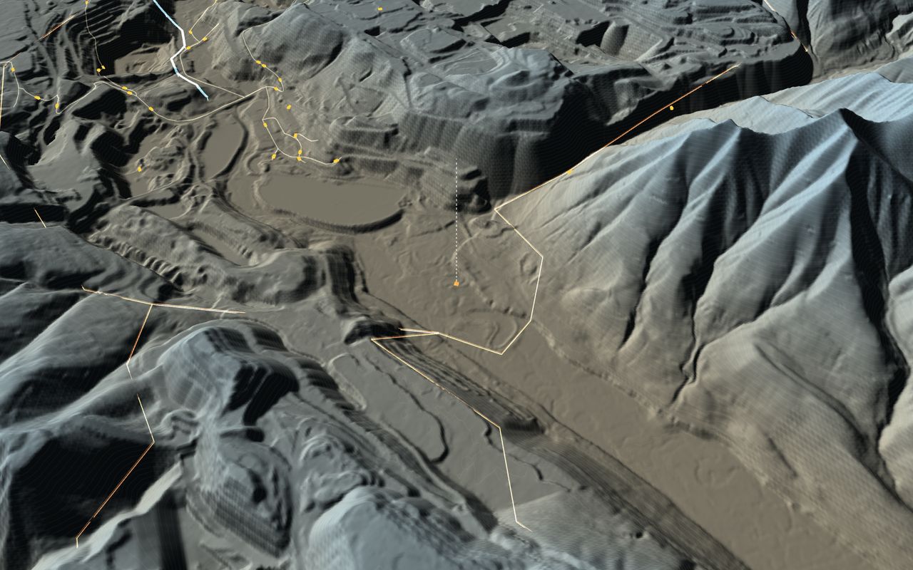
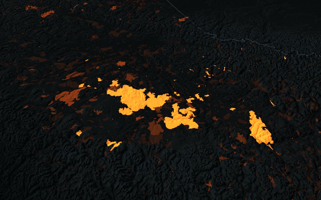
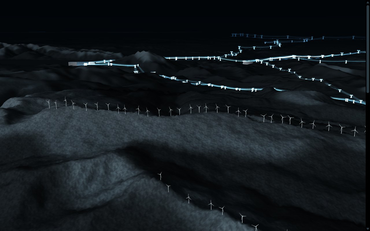
Our interactive digital twin models integrate and visualize geographic, natural resource, environmental, and infrastructure data into a navigable platform to support project planning and informed decision-making.
Discuss Your ProjectEnter the Digital TwinExplore our Vancouver digital twin demonstration. Skip to the work
Explore nearly 700 km of underground infrastructure networks, including water, sewer, power, street lighting and SkyTrain tunnels, alongside over 7,000 buildings. The model integrates data from the City of Vancouver and OpenStreetMap, allowing users to explore infrastructure networks across downtown Vancouver.
Explore Vancouver's urban development through an interactive timeline illustrating how the city's built environment has evolved over time.
1886
Today's buildings, by the year they were built.
Building dates are derived from City of Vancouver property tax and parcel records. Buildings without available dates are displayed in grey. Recorded dates may reflect subsequent building conversions.
Analysis Result0.0 km of the water mains in this model were installed before 1926, more than 100 years ago.
Explore the interactive digital twin, integrating infrastructure networks, environmental conditions, urban vegetation, and building permit information. The model incorporates real-time weather and solar positioning, with access to available records for individual assets and infrastructure.
Enter the Digital TwinExplore the Demonstrations© OpenStreetMap contributors