
Five maps built from public records.
Each one runs in your browser on official open data and names its sources.

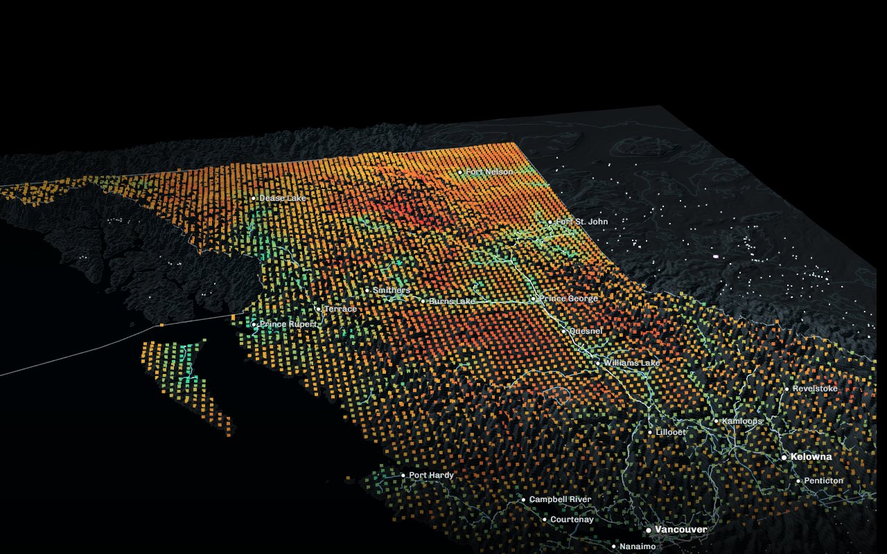 Decision tool
BC Land LensOne map, five questionsPick your role and the map shows what matters to it.
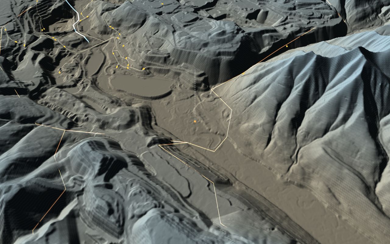 Terrain
BC minesFrom the province to the pitEvery producing mine on its rock; six to go inside, each one on your table in AR.
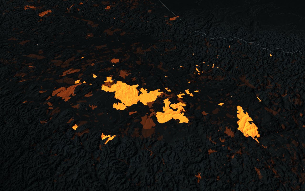 Live
BC forests1900 to todayHarvest, every mapped fire and the satellite record.
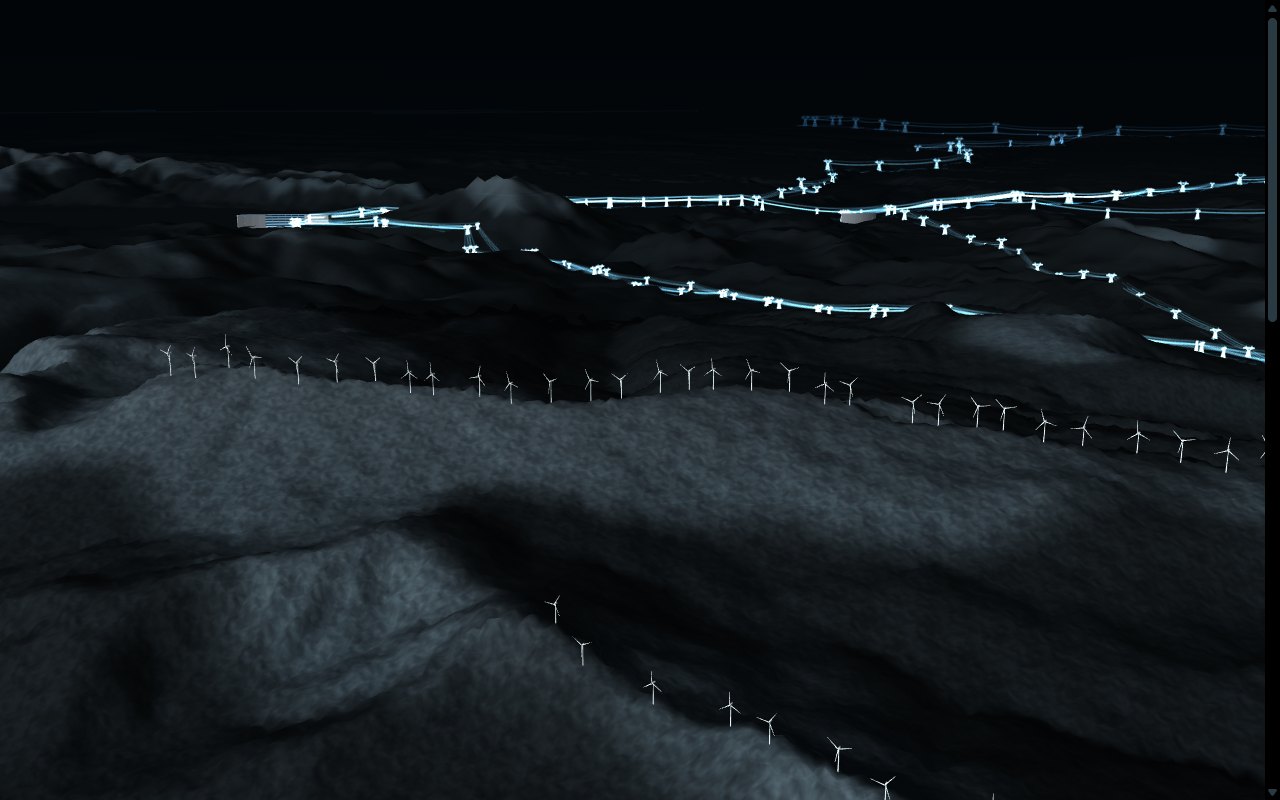 Live
BC energyFrom water to wireThe grid today, where wind and sun pass a first screen, the power contracted to 2034, and fires near the lines, live.
- BC energy serves community energy plans: the renewable energy screening.
- BC forests serves community resiliency planning.
- BC mines serves resource development and critical minerals.
Pictures: views from the maps on this site, made from the open data credited on each map's page.
What we build for you
Digital twins
A site, a district or a corridor as a living 3D model, joined to the records and feeds you already keep.
Decision tools
Site screening and views set up for each role, with the evidence linked.
Terrain and plans
Official elevation and imagery with your layout, pits, turbines or lines placed on true coordinates, for community sessions, approvals and investors.
Live dashboards
Season replays and current conditions from public feeds, such as fire, weather, air and permits.
Offline applications
Runs on a laptop or a meeting-room screen with no connection, for the field and the community hall.
Films on real ground
Cinematic aerial sequences that land exactly on the plan, made with the same data.
How we handle data
Every figure on screen is calculated from its source, and anything illustrative is marked as such.
Official and open data first, with each dataset and its licence named on the page.
We work to your access rules and publish nothing about your community or your projects without your approval. With First Nations, we follow the principles of OCAP®.
OCAP® is a registered trademark of the First Nations Information Governance Centre (FNIGC).
Tell us about your project A private briefing, by appointment